Summer Weekend Long Island Facing Clouds Shower Issues Saturday
Summer Weekend Long Island Facing Clouds Shower Issues Saturday

When you look at the satellite loop this morning there is an east west band of clouds and we have been seeing this area buckle north and south several times over the last week or so. It will be moving back southward today so at some point cloud cover will begin to decrease and we should see some sunshine this afternoon. Temperatures should respond by climbing into the 80s though over the East End clouds could linger for awhile long and temperatures will hold in the 70s.
EASTERN SATELLITE LOOP
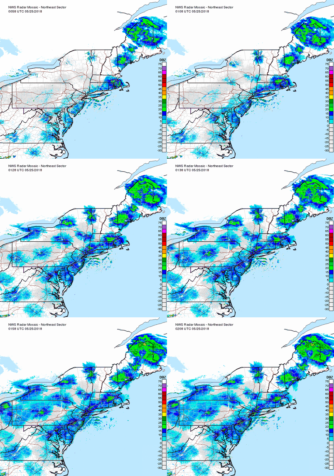
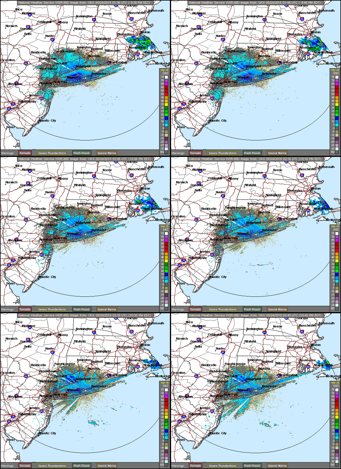
The main area of shower activity from overnight has moved away to the east and we only have a few leftover blips on the radar to get though this morning. Radars will go quiet this afternoon.
Friday will be dry with sunshine to start but clouds will move in during the afternoon as that boundary to the south buckles back the other way again. There will be a wind off the ocean on Friday so highs will just be in the 70s (depending on how much sun). Then we deal with the weekend issue which is the warm front coming up from the south.
Problem number 1 for Saturday is the onshore flow all day which will keep us in cloudy skies. The second question is shower activity how much, when, and where? That is the tougher part. Timing here is going to be difficult. It would seem there should be a few showers early in the morning and then more on and off after that. Long dry stretches are possible in between. If you have outdoor activities planned bear this in mind. I don't expect to see torrential unrelenting rains but it is going to rain for somebody somewhere at some point. Temperatures will be on the cool side and it will be rather humid. Highs will be just into the 70s. Sunday looks like the better of the two days to some degree though it is not going to be rip roaring wall to wall sunshine. We have another weather front to deal with Sunday night and there could be a few showers with this Sunday evening. We should see temperatures back into the 80s Sunday. Monday and Tuesday we have a cool dry air mass headed our way with some sunshine and highs in the 70s. Later next week we should start to prepare for increasing humidity and increasing temperatures as a ridge of high pressure begins to build along the East Coast.
NATIONAL WEATHER SERVICE SNOW FORECASTS
JOIN JOESTRADAMUS ON YOUTUBE!
LATEST JOESTRADAMUS ON THE LONG RANGE
Posted from my blog with SteemPress : https://www.weatherlongisland.com/summer-weekend-long-island-facing-clouds-shower-issues-saturday/


