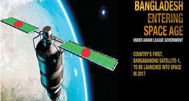
Name: Bangabandhu-1

Source by: https://qph.ec.quoracdn.net/main-qimg-9cb43f2702269a9541895eeb771bfce5-c
Abstract about Bangabandhu-1
57th in the world to create satellites, the first in Bangladesh.
France's Thales Alenia Space has created the main structure of the Bangabandhu-1 satellite. The total cost of implementation of Bangabandhu-1 satellite project is Tk 2,765 crore Of this, multinational bank HSBC has been giving a loan of Tk 1,358 crore as loan. The location of Bangabandhu satellite in space will be 119.1 degree East longitude. It will be launched on 11th May 2018 Bangladesh time between 2 to 4 am.
Some Benefits of Bangabandhu-1 Satellite
If Bangabandhu satellite is launched, foreign currency will be saved, as well as making payments of roughly 50 million US dollars per year in the rented country like Nepal, Bhutan. Because Bangladesh will use only 20 out of 40 transponders. And the remaining 20 will be given rent. There are about forty-five TV channels in Bangladesh at the moment. There are hundreds of Internet service providers or ISPs. There are fifteen stations on the radio station. There is more. There is no V -SAT service. If Bangabandhu is launched, Not only foreign currency will be saved in the country, as well as the unused portion can earn about 50 million US dollars every year by renting a country like Nepal, Bhutan, because 20 will be leased to another country. Bangladesh would not have to pay the money for the satellite rental.
Mainly due to the following uses of satellites:
- Astronomy or astronomy research
- Weather forecasts
- TV or radio channel, phone, mobile, and internet communication technology
- In the direction of navigation or navigation
- Inspection - Parikrama (to know the enemy position in the military field)
- Far sensitive.
- Search and rescue under soil or water.
- Space Exploration
- For taking photographs (it is very important for the government).
- Hurricanes, cyclones, predictions of natural disasters.
- Nowadays terrorists are using Satellite phones in many remote areas.
- Global positioning or GPS
- Do gamma ray Barrett detection.
- In addition to nuclear explosions and the upcoming attacks, there will be an advance warning about ground forces and other intelligence.
- Oil, natural gas, and various mining detection etc.
- Create a digital map.
One's will understand how much a satellite is proud for the country, who knows about the satellite.

