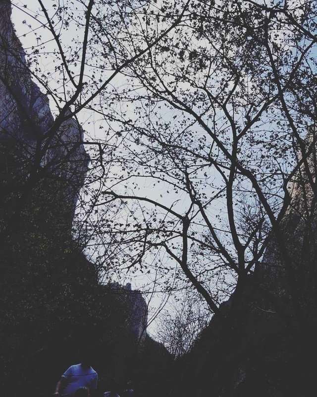
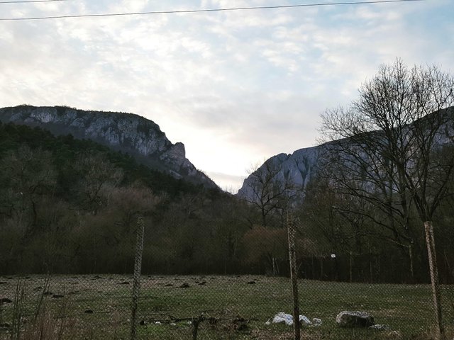
Turzii up a protected area of national interest corresponding category IV IUCN (natural reserve of composite), located in Cluj County, at a distance of 6 km west of Turda, along the valley Hăşdate.
At the point "Piatra Tăiată" (historical monument located near the "Izvorul Romilor", the coordinates of the spring: 46 ° 35'28 "N 23 ° 42'41" E) were the main Roman quarry of the city and Roman Potaissa . In the nineteenth century, when the footprints of the Roman exploits were still visible, detailed observations were made about the techniques of separating the limestone blocks and advancing in the massif. 
From the quarry was transported to the church in the neighboring village Cheia a column of 1.5 m high and 0.34 m in diameter.
In the quarry and in its surroundings were found tiles, gorges, lighters, ceramic fragments and several coins (a tetradrahm, a denar from Roman Emperor Domitian, a denar from Macrinus's time and two other coins). The findings indicate the existence of a settlement near the Roman limestone quarry. 
The archaeological site from "Dealul Alb" is inscribed on the list of historical monuments in Cluj County developed by the Ministry of Culture and National Heritage in Romania in 2010. 
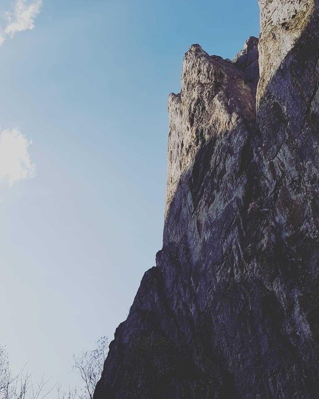
They have a length of 1,300 m and a wall height of up to 200 m . The gorges occupy an area of 324 ha and were formed by the erosion of the Jurassic limestone rock by the Hashed River.
The Turzii Gorge offers a rare wildlife karst landscape: high and steep cliffs, sharp crests, stone towers, stones, stunts, arches, etc. It contains over 1,000 species of plants, animals, butterflies, some of which are rare elements such as wild garlic, rock eagle, mistletoe, yew, scorpion, white carnation, rock fly. 
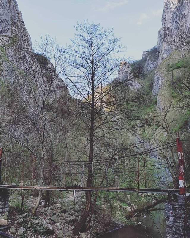
There are 4 bridges across the waterfall of Hădate. The first bridge (I) (also known as the "Cave Bridge") is located not far from the entrance of the Hesseda valley in Keys, the last deck (IV) near the exit of the Keys, in the direction of the flow of the valley waters. Starting from the cabin to the fourth deck, the tourist trail follows the left bank of the Hăşdate Valley, between the 4th and the 3rd straight deck, between the 3rd deck (also known as the "Washing Visuina") and the 2nd deck, between the 2nd deck (called and "Middle Key") and deck I right bank, and after deck I (until exit from Turzii Gorges in the direction of Petreştii de Jos village) the left bank.