Sierra Perijá National Park is a national park, located in the Cordillera de Perija. It spans the municipalities of Perija and Colon of Zulia state in Venezuela. It was established on the 12th of December , 1978. It covers an area of 295,288 ha. (2,952 sq km).
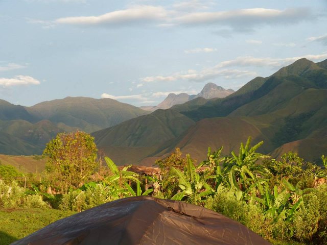
The heights of the different peaks vary between 800 and 3,500 m, highlighting Cerro Pintado (3,650 meters) and Pico Téctari (3,750 m). The altitude enables the development of several climatic zones and different types of vegetation.
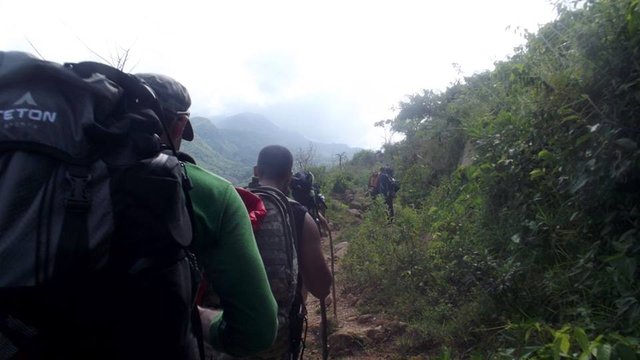
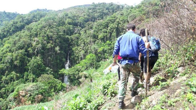
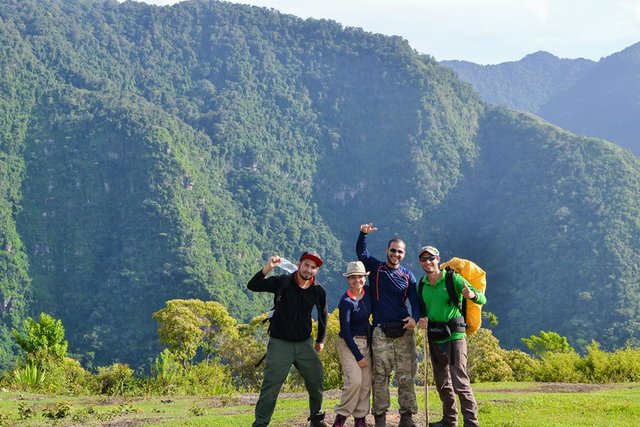
The landscape is made up of vertical mountains that rise abruptly above the plains of Lake Maracaibo.
The main source of income for the communities living in the area is the cultivation of coffee, bananas and other plants.
The mountain range marks an important stretch of the border between Colombia and Venezuela, with the Colombian department of Norte de Santander, Cesar and La Guajira to the west and the Venezuelan state of Zulia east.
( Las fotografías son de mi autoria, el texto fue tomado de toursvenezuela.com )
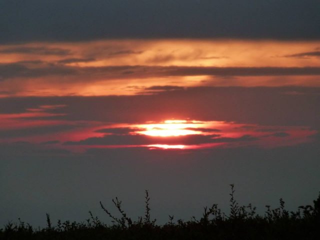
super hermoso algún día cuando sea rica iré jejejejje ;)
Downvoting a post can decrease pending rewards and make it less visible. Common reasons:
Submit