Climbing up the North Dome in the Catskills . Navigation practice with an edgy twist on a mountain crowned in cliffs of ice
So my fellow Steemians, welcome to North Dome! North Dome is a 3610 foot peak in the Catskill mountains just a bit East of Shandaken, New York. After some time on monster winter pack hauls I was feeling a bit beat up so I thought a bushwhack up there would be just the thing. It turned out to be an amazing place although it has a bit of an edgy twist to it that made it a bit more than the rest and recovery trip I had intended on. It turns out North Dome is monstrously steep and ringed by two high cliff escarpments at 3000 and 3200 feet and if I remember correctly, a third farther down on some parts of the mountain. By the time I got there for the first trip much of the snow had been replaced by great flows of ice.
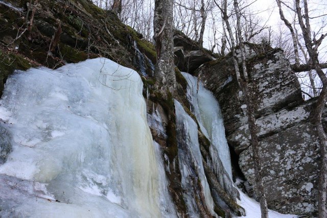
fifty foot cliffs at 3000 ft elevation
It's a place where you can get a lot of mountaineering axe and crampon experience up top after a largely snow free approach from lower elevations. It goes quickly from this...
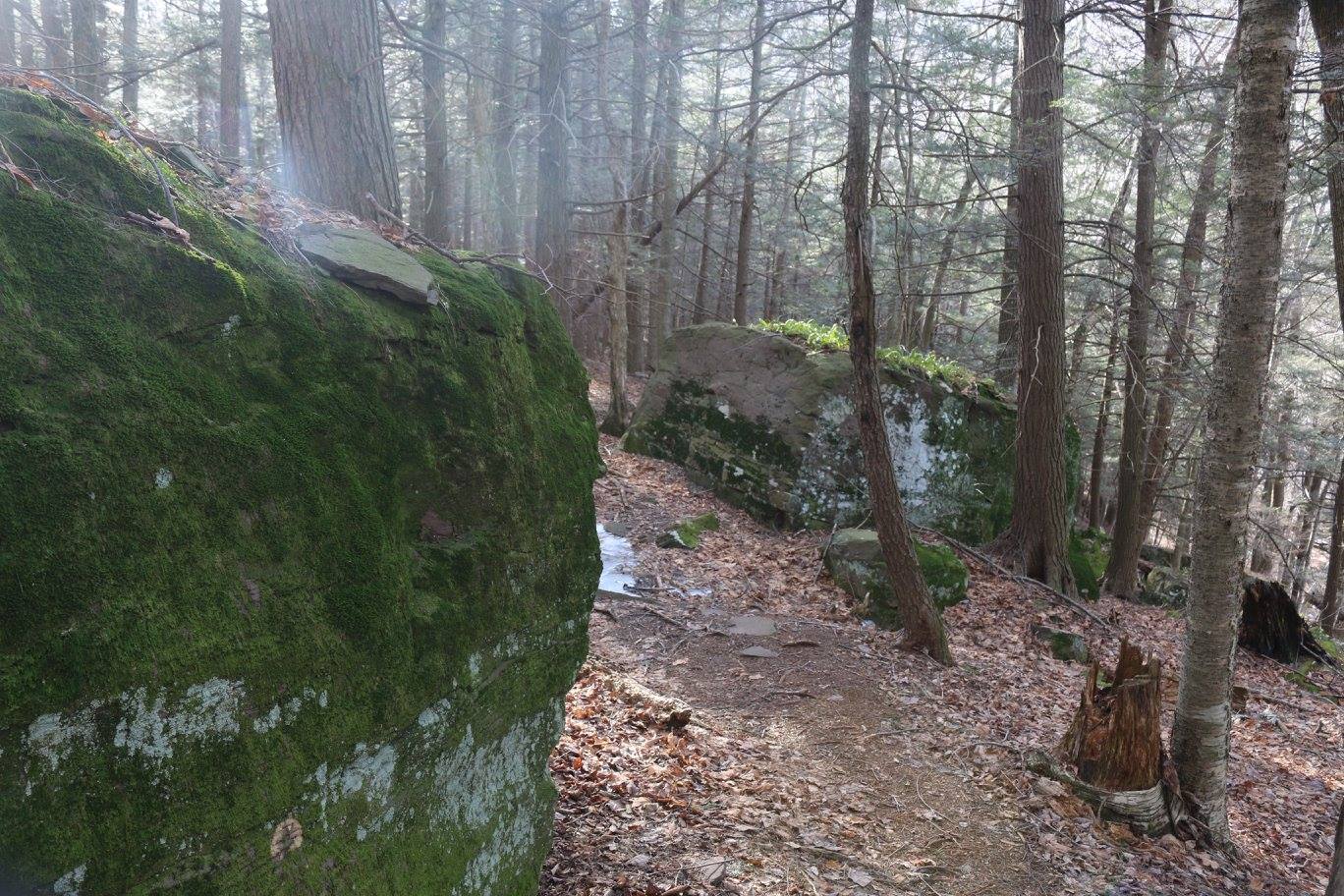
to this!
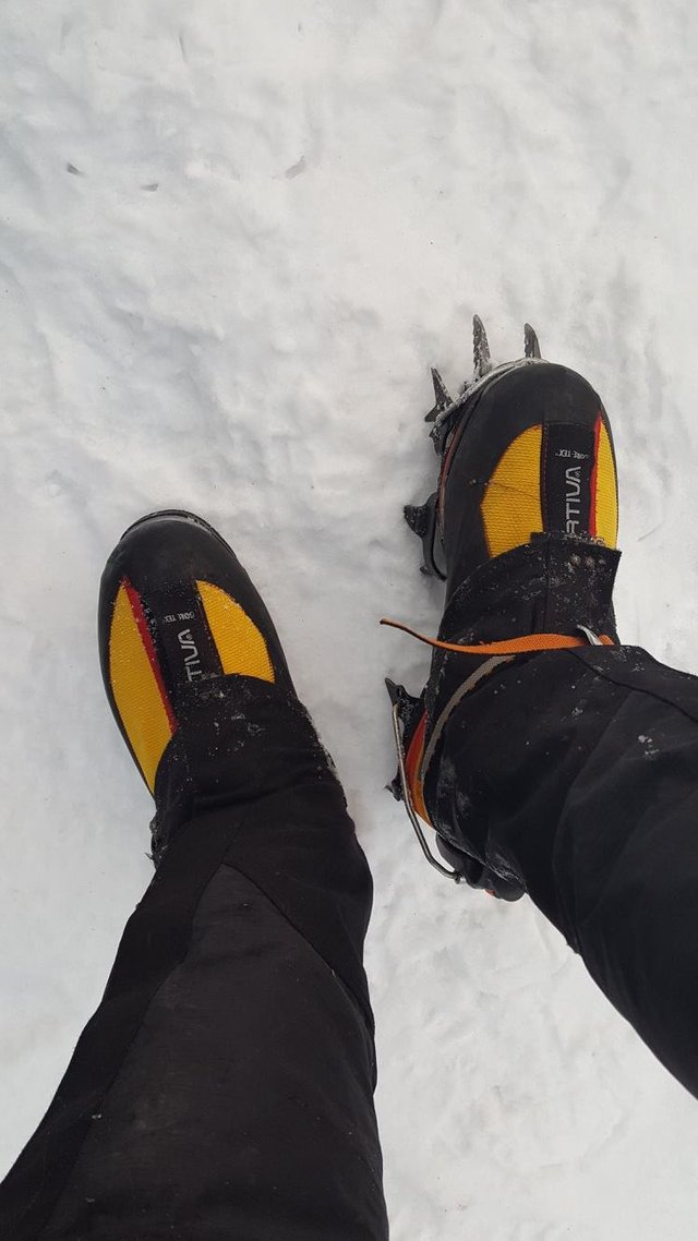
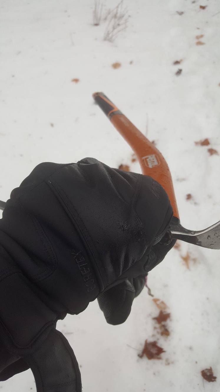
3610 feet may not seem much to many people who have been in the larger mountains but in winter simply catching your crampons on your boot gaiters can mean an uncontrolled fall of fifty feet or more. And then, if you are lucky, you survive but are miles in the backcountry with whatever you carried in. You might be able to call for help but more likely you'll have to struggle out on your own or spend a day or two until 'your trip plan expires' i.e. when the time you were supposed to be back home and in contact with them has passed and enough time has passed that they call for the Rangers or other rescue.
- Always give someone your trip plan and make sure they know exactly where you are going and when you are returning.
- Always sign park trailhead registers if there is one. It can narrow the search for you by many square miles.
Heavy, heavy fellow Steemians I know. But worth mentioning as many have before. In winter these things can make all the difference.
Of course, if you just do a face plant it's just very funny to watch :) There is the desperate bid for balance, the last second choices and the crashing capitulation...
Okay, on with the adventure. Here's the planned route:
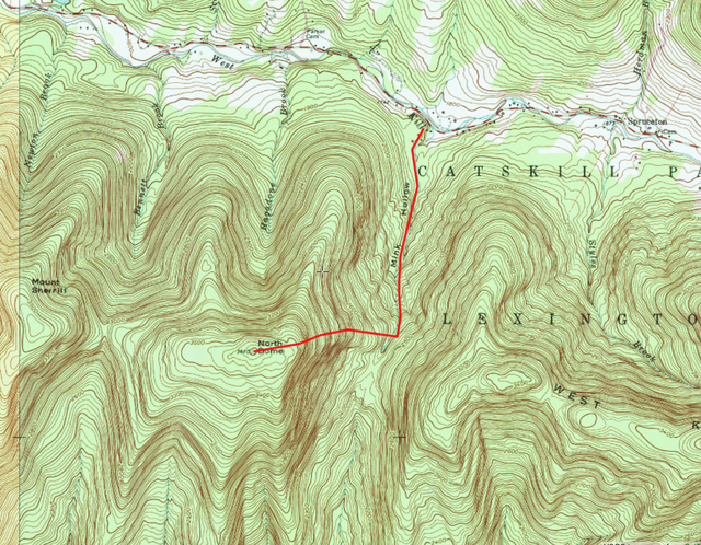
Essentially the route involves taking the Northern portion of the Indian Head Range trail ( or Devil's Path if you are of the Dutch opinion about it's difficulty) to the SSW (southSouthWest) along the northern flank of St Anne's peak. It's basically using the Mink Hollow Kill as a 'handrail'.
There are no trails to the summit of North Dome and I was to find the seeming ease of following a bearing to the summit canister somewhat deceptive.
For those of you who have never seen one of these, they are a frequent fixture on peaks without trails so that those who have actually summited can substantiate their claim to fame.
I don't generally bother signing them. It's all about the journey and the skills for me
and I will often climb the same mountain several times from several different directions so as better to understand the place and solve navigational problems by learning things that will be helpful later.
Often "smaller" peaks like this can pack more topographic complexity into a shorter approach and can be a very useful learning experience as a direct result. And North Dome is the paragon. In particular there is a tendency when going up the eastern rib to end up on the Northern rib and suddenly find yourself high up on the mountain and somewhat perplexed to find the summit directly behind you instead of in front! It happened two out of the three times I went there and although I found the summit canister each time without incident I was always a bit mind warped.
Here's what actually happened! I will describe the details in my next post:

But first here are the rules of the game. I carry a hiking gps but only use it to record the trip ( and later also to reference altitude after I broke my analog altimeter). To navigate I use a compass and/or referencing landmarks and other natural cues. Then when I return I download the gps tracks to see how things went.
I will add that I also turned the gps on to follow my track so that if all else failed it could provide another way of securing my return. There are always days in this business that start with me trying to " doing things as I have learned" then progress swiftly to me "just trying to get there and back any way I can" and finally end up with me "just doing whatever works to get me home." It happens. So you will often have layers/levels of protection in navigation, clothing, equipment etc. So here I have a compass and map as primary, with gps as fallback.
And so began one of my more tricky navigations... more details to come on the next post.
As always my Steemit friends, please forgive me if I have focused more on the struggle than the beauty. I only do this so that your journey is a safe and pleasant one- should you happen to try this for yourself.
May you be happy.
Amazing! Thanks for sharing!! Up voted and followed!!
Downvoting a post can decrease pending rewards and make it less visible. Common reasons:
Submit
Thanks Jason! I am following you also. Great photography! :)
Downvoting a post can decrease pending rewards and make it less visible. Common reasons:
Submit
Appreciate the photo of the log book at the end. It's like a seal of authenticity on a kick-ass adventure. Love your dauntless spirit, bro. Keep on treking.
Downvoting a post can decrease pending rewards and make it less visible. Common reasons:
Submit
Plus, some gorgeous photos of icicles there!
Downvoting a post can decrease pending rewards and make it less visible. Common reasons:
Submit
Thanks crumb-bum! I read your first post...freedom! Following...
Downvoting a post can decrease pending rewards and make it less visible. Common reasons:
Submit