Climbing Route Gunung Sibuatan sumatera utara

From the village of Naga Lingga enough walk for 30 minutes just go to the forest door gate and down the path Padati. Along the way to the forest will be served by the field and some people who are taking care of the field. Among the vegetable fields are seen some popular plants such as Orange and Coffee,
Padati is the name of a traditional vehicle. Of course we can use Padati by hiring them to the community or using Padati services to embrace luggage and be more effective. Padati commonly used by local people to carry goods to the fields and the harvest of their fields.
At the forest door is on a small hill and a clear flowing child that will take the climber to the summit of the mountain. The altimeter shows an altitude of 1,500 meters above sea level (mdpl).
After an hour of walking or at an altitude of 1700 mdpl still common, because the path that still likes to pass by the community to find rattan and hunt. There is a field that can be used to create a camp or just to rest to recover energy.
This place is suitable for rest because there is a small river next to the field that can be used for purposes such as drinking and others. This water source is the last water source before continuing the trip to the summit and usually the climbers use the field to be a resting place.

At an altitude of 2250 mdpl you will get a view of plants that begin uniform and still decorated by moss, which indicates a moist area and still rarely do people climb to this mountain. Small plants and shrubs whose height can be the size of a man's height are the plants that adorn this area.
Route Toward the Eastern High
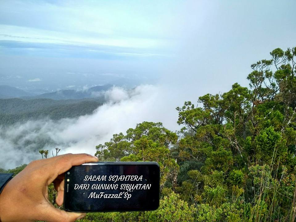
After arriving at the East Peak you will get a stunning view with the view of the mountains that envelop Lake Toba.
The Route Towards the Western Summit
After leaving the eastern peak you will be walking along a small mountain hill that will take you to the western peak. The path through a bit of moss forest covered with small trees that are not too high. And along this journey you will get back to treat the plants Semar Pockets and some Wild Orchid.
Approximately 30 minutes walk towards the top of the western ecosystem of plants will again change into the plant shrubs-low enough. The panoramic is no less interesting with the presence of a gap that flank the hiking trip.
The Route Towards the Main Summit

After perjalamam about 45 minutes has now arrived at the main peak of Mount Sibuatan. You will be greeted by a concrete pillar labeled SEC TRIANG No.191 with a height of about 1.5 meters concrete, decorated with uniform small trees. From this place you will be able to see the beauty of the forest and rural landscape at the foot of the mountain. I wonder how long the stretch of green field will survive.