March 27, 2019
Joshua Tree National Park to Red Rock Canyon State Park, 173 miles.
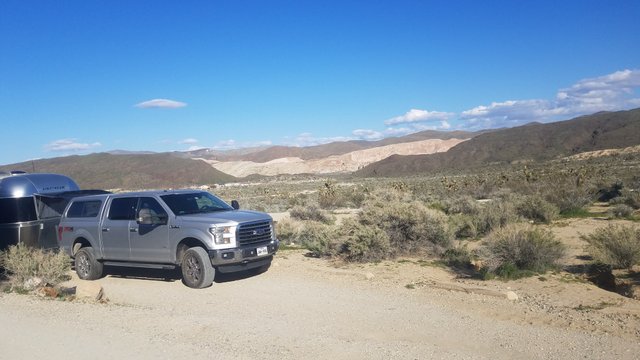
We selected Red Rocks Canyon for our next stop because it was north, in the direction of my sister’s house near Santa Rosa, California, and within our approximate 200 mile range maximum limit we like to travel between stops on our journey. None of us had ever visited this park about 80 miles east of Bakersfield, California and about 175 miles south of the southwestern entrance to Sequoia National Park. The park seemed very remote even though it was about 20 miles north of California City, which had most of the common amenities that would qualify for civilization. The park is located in the northwestern edge of the Mojave Desert, but had a totally different landscape from the Joshua Tree National Park we visited the previous two days, also within the Mojave.
.jpg)
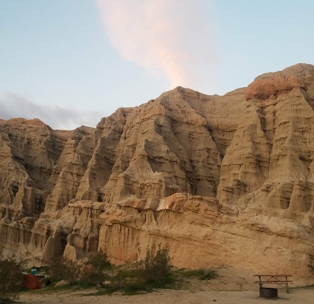
Not knowing what to expect we were all pleasantly surprised by its unusual, varied landscape. Driving in going north on California Highway 14 we saw the red rock cliffs and red landscapes for which the park was named. The entrance to the campground was quite different though being on the other side in a valley between canyons. We found a campsite right up against a canyon wall of about 300 feet high of a completely different color and composition from those we saw from the main highway. This canyon wall was composed of a compacted grey earth and soft rock, that was eroded by mostly water and wind, that seemed like it was made of hardened mud. There were a few scattered Joshua trees and very sparse green spring vegetation in the valley to our east.
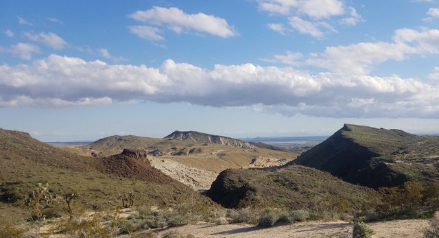
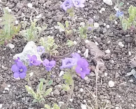
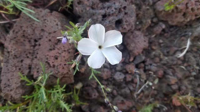
Late afternoon we hiked a trail that took us to a panoramic viewpoint on one end of the grey canyon cliffs above our campsite. Here we could see a 360 degree view of most of most of the horizon. The different hues in the cliffs surrounding us were awesome, from different shades of reds, pinks, greys, yellows and black volcanic rocks as well, interspersed with green spring vegetation and flowers of various colors. It was indeed a beautiful landscape to behold. My brother and I decided to walk the narrow ridge of the grey colored cliffs 300 feet above the campground. Since my sister had her dog and the wind was blowing with fairly strong gusts, she decided to head back down. It wasn’t possible to walk to the other end of the cliffs like we initially thought possible. We traversed up and down a tricky spot that was slippery with loose dirt along with being very steep and windy. A slip up here and the fall would likely cause death or a serious injury. After this spot we were able to walk a little more than half way, when we came to a narrower and steeper trail, so we didn’t press our luck and went back. Luckily we didn’t have to worry about going back down that dangerous area and saw a way down, that was difficult but not dangerous, to the wash on the opposite side of the ridge from the campground. We followed the wash in the narrow valley with a similar ridge opposite of the one we just dropped down from, but only about 75 feet high. We explored the narrow slot canyons composed of compressed, hard dirt, so they were more easily carved by water erosion. It was fun because many of the side canyons in the ridges walls led to shallow caves and tunnels. It was just interesting to see how water erosion made such beauty out of what otherwise would be an ordinary ridge with a basic grayish color.
We were a bit concerned that our climb back out of the valley might be a problem. We followed the wash until it dropped over a ledge that would be a waterfall after a significant rainfall of about 50 feet in height. Not finding a way down to continue following the wash and after a quick check, we looked for a way back up to the trail that took us to the initial panorama at the top of the ridge. There was one, but we noticed a short cut pretty much just straight up to another ridge that would give us a view into the wash canyon below the dry waterfall. It was a tough hike. There were loose pebbles and scree that made the climb a bit more difficult than it looked from the bottom, but we made it. The view here was fantastic, especially with the sun being low in the sky being about an hour before it would set. The color on all the surrounding ridges and canyon walls was really vibrant. I continued south toward the canyon formed by the wash. Here I was in bliss from the beautiful, sunset induced colorful view that was what I was anticipating. I noticed I had a good cell signal up here, so I called my best friend Monica in Kentucky to share my gratefulness of what I was experiencing.
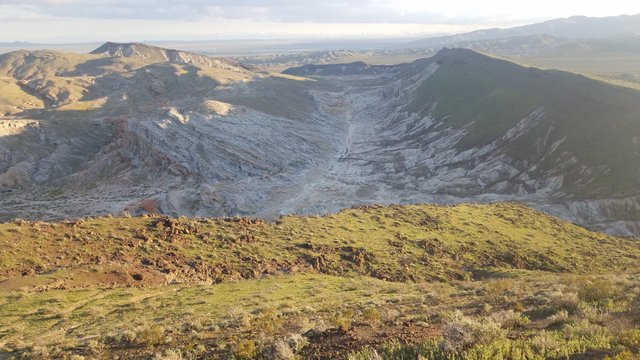
I noticed my brother had started back to where the original trail took us. I started back slowly watching the west horizon until the sun set. The dusk light was going to be around long enough for me to safely make my way back to the Air-stream trailer. When I got back I was satisfied by the wonderful, exhilarating hike, thinking about what we might fix for dinner. I was pleasantly surprised finding my sister had dinner ready anticipating our arrival just after dusk.
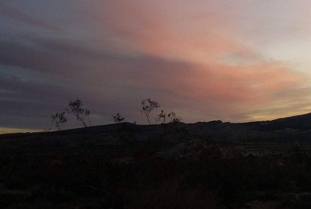
I’m sure I slept peacefully that night. The next morning I woke up to see the orange light of the sunrise through the window. It was enough incentive to make me quickly dress and start a glorious hike up the same trail to catch the change of colors on the surrounding canyons, cliffs, and ridges. What a perfect way to start the day! When I returned my sister and brother were just waking up. I decided to reward them with a blueberry pancake breakfast, because of my own good fortune of witnessing yet another splendor of nature. Also, I thought it might help give me some brownie points when trying to convince my brother of the next destination for tonight. It worked and we were off to Lake Isabella to the north.
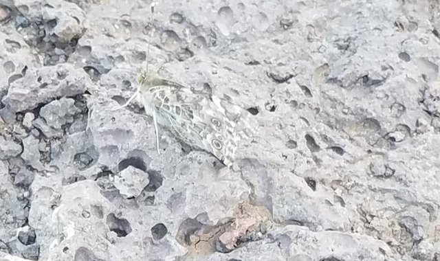
Do you notice how well the butterfly is camouflaged?
