Hello everyone, welcome back. This time I'm going to share beautiful memories of my past hike experience where I traveled Hawagala mountain located Sabaragamu province. We used to reach the Hawagala mountain via Balangoda - Belihuloya, reaching the village of Landuyaya and crossing the mountain.
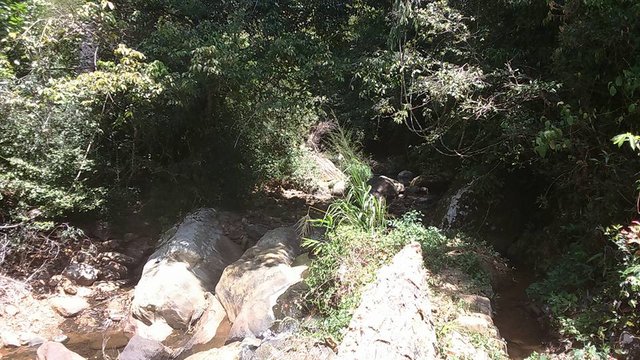
The Hawagala mountain is rich in beautiful streams during the rainy season and there is no permanent source of water.
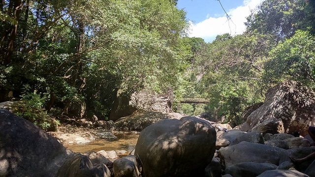
If someone intend to cross the Hawagala using public transport, you can first board a bus to Balangoda and then take a bus to Landuyaya. As you know, a bus is only once an hour.
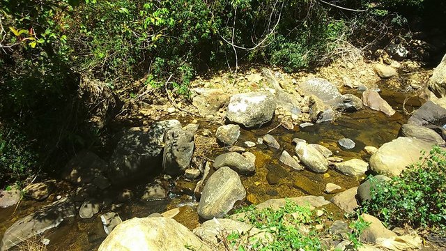
There was little water stream. It was pure water. Nice to watch beautiful landscape. The climate was too warm. The sunlight roughly attacked us. But perfect for our walk.
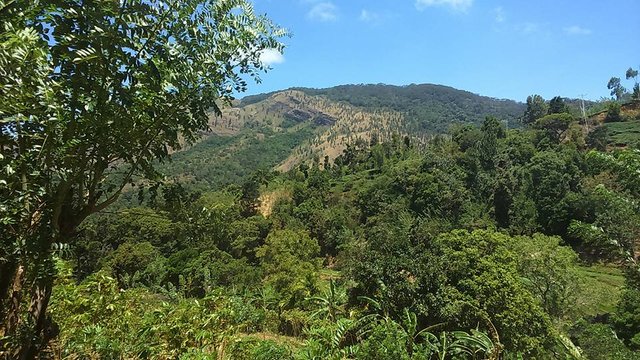
The road was not difficult because there was no rain. We had to climb the mountain cautiously, as it was an area full of animals, including leeches, snakes, and pigs. Most of times I had attacked by the leeches.
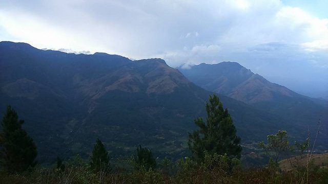
We continuously walk ahead. Then I caught beautiful landscape click. We could see another mountain range since here. During the rainy season on the top of the mountain there is a small pond and the water is clean enough to drink. Hawagala is a place where you can easily get a 360 ° view of many mountains.
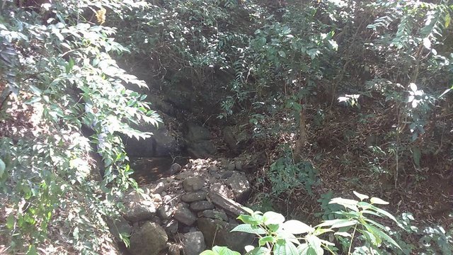
I saw another little bit water flow. During the rainy season, these small streams become waterfalls and drain down.
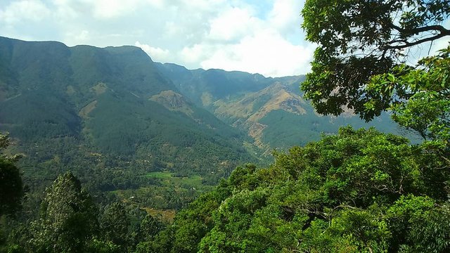
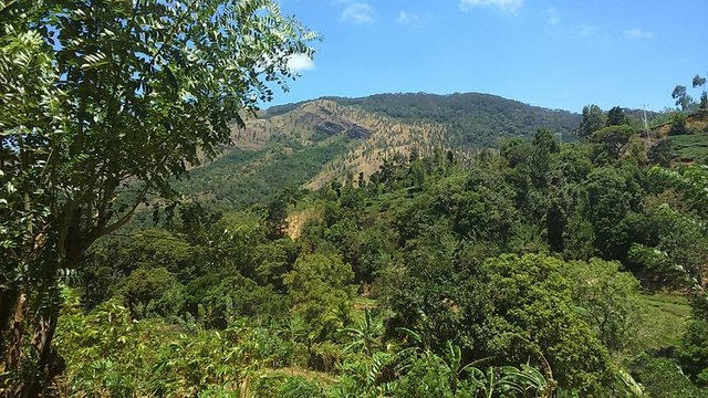
Now sunlight clearly fall to the land. So I could captured nice view. For the experienced mountain climber, the Hawagala road is not a difficult one. We were able to reach the top of the Hawagala mountain in two hours, amidst the tea gardens, the forest of Pines, and the thick jungle.
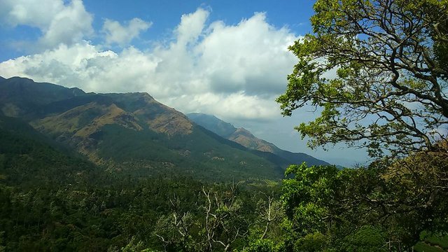
The Hawagala hill is a widespread plain. There are many mountain ranges including Samanala lake and love hill. In our own words, we can look forward to that beautiful windswept valley in the cold breeze. There's so much beauty in that scene that goes to the top of the Hawagala.

There was bunches of Mana plants. Weather condition very quickly changed. But we got safe instructions from the villagers. So our power was increased.
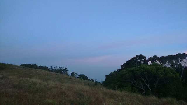
And there is a lot of land at the top of the hill. That means Hawagala is the best place for camping. Every hike adventures are very risky and difficult because we ready to face animals, reptiles, snakes attacks; Also if our foot step will keep to wrong place, our body can be loss or hardly damage. After reach final destination our mind and physical power will be boost.
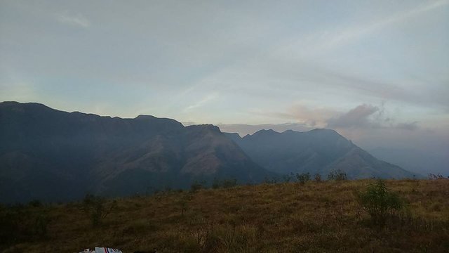
This Hawagala mountain is actually that has been created by mixing soil with a rock. While climbing the mountain, I encountered several major watercourses. During the rainy season, there is water on the top of the hill. We stayed two hours top of the Hawagala. After sing songs with fun activities we say good bye to Hawagala. Thanks for reading. See you again.
View this post on TravelFeed for the best experience.
Beautiful nature! The mountain view is wonderful. You were very lucky to travel there. It looks really nice atmosphere. Thanks so much for sharing. ;)
Downvoting a post can decrease pending rewards and make it less visible. Common reasons:
Submit
Congratulations, Your Post Has Been Added To The Steemit Worldmap!
Author link: http://steemitworldmap.com?author=madushanka
Post link: http://steemitworldmap.com?post=a-360-view-of-the-mountain-easily-accessible-with-memories-of-mount-hawagala-in-sri-lanka
Want to have your post on the map too?
Downvoting a post can decrease pending rewards and make it less visible. Common reasons:
Submit
Shared this content on Twitter for #posh initiative.
https://twitter.com/SureshM85944570/status/1215097586643804163
Downvoting a post can decrease pending rewards and make it less visible. Common reasons:
Submit
Beautiful mountain
Downvoting a post can decrease pending rewards and make it less visible. Common reasons:
Submit
Thank you.
Downvoting a post can decrease pending rewards and make it less visible. Common reasons:
Submit
Congratulations @madushanka! Your post brought a smile to the TravelFeed team so we have sent you a smiley. Keep up the good job. 🙂
Feedback
Based on your post, we have the following feedback for you:
Thanks for using TravelFeed!
@wanderein (TravelFeed team)
PS: TravelFeed is in social media to reach out more people, follow us on Facebook, Instagram, and Twitter.
Downvoting a post can decrease pending rewards and make it less visible. Common reasons:
Submit