This post is about a circular hike in less known and especially: less touristic areas of my home town Krems an der Donau.

It starts at the Kirchliche Pädagogische Hochschule (KPH), the university for teacher education.
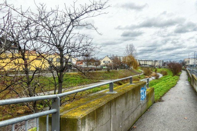
From ther you walk to the Krems river.
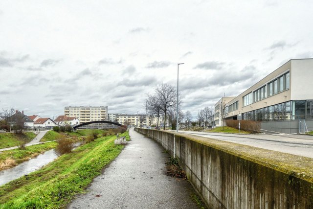
Opposite of the Bundesrealgymnasium Rechte Kremszeile, a school for secondary education, you walk over the Klomsersteig to cross the river.
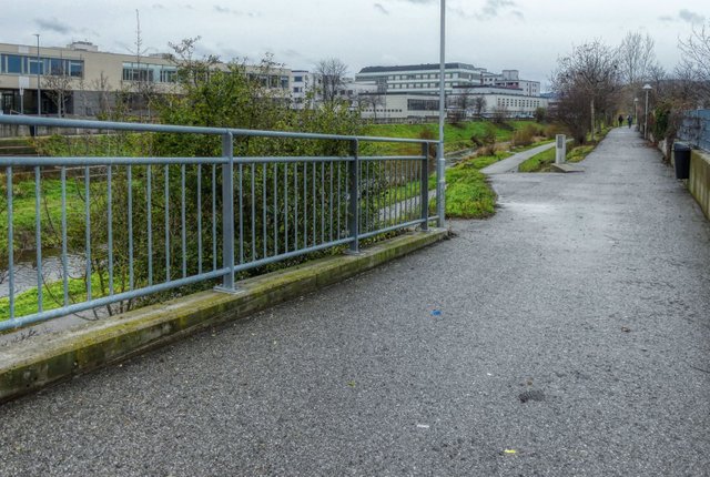
On the other side you walk down to the banks of the river.
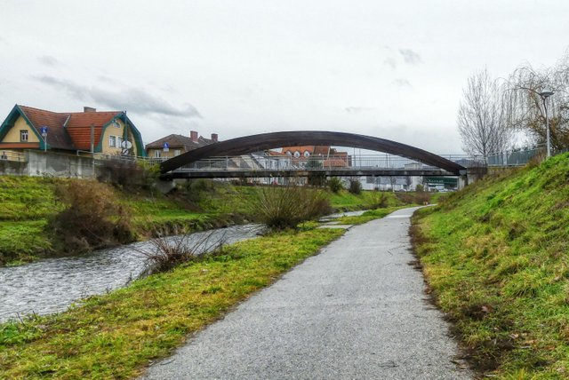
Now you walk in western direction.
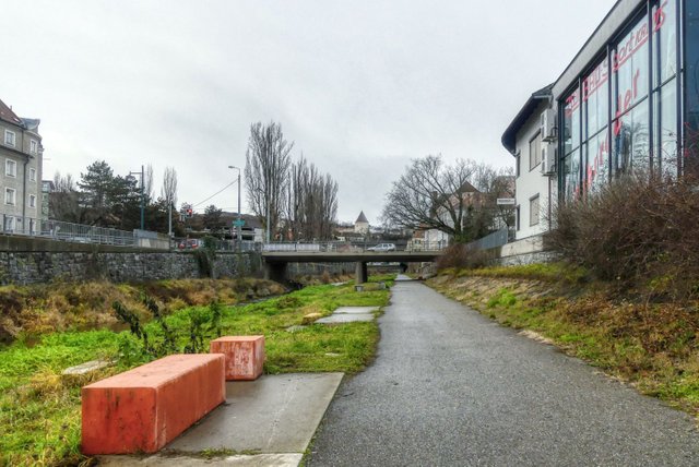
After a flood in the year 2002, the river has been renaturized and a lot of banks like these two red ones made of concrete have been built.
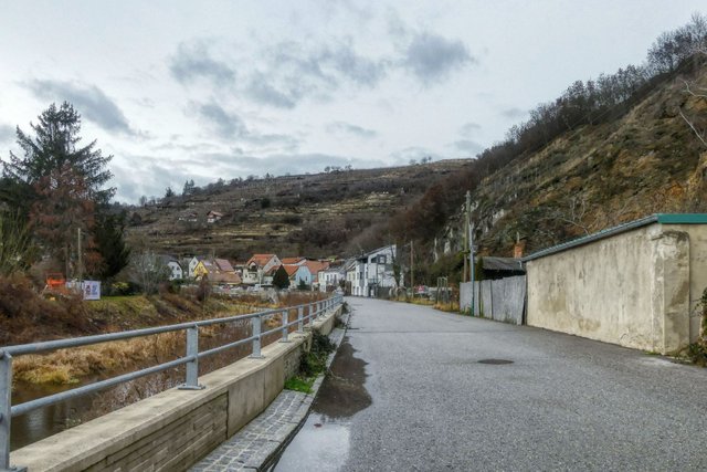
Always keep walking alongside the river!
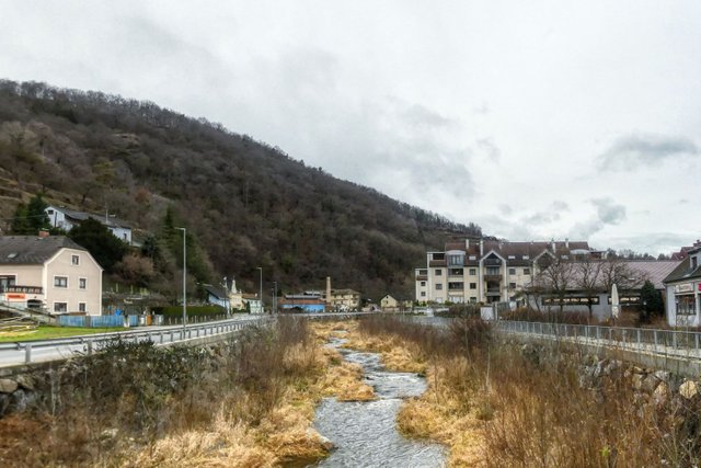
Then you come to a quite modern part of Krems, the "Mühlhof". This area used to be an industrial area until the 1970s or maybe even the 1980s, I am not quite sure about that. In the 1990s it was transformed to a residential area.
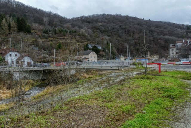
Then you come to this quite modern bridge and cross it.
On the other side you turn right and walk along the Kremstalstraße for some meters.
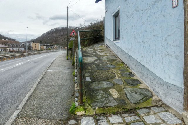
Take care because at that house the "Klauslsteig" starts. Walk up this way that looks like a ramp!
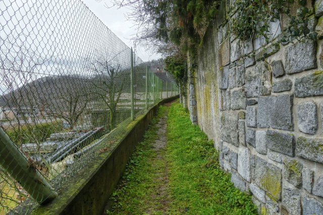
Later on it will be an overgrassed path.
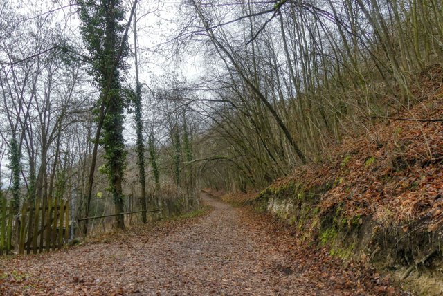
And then you finally walk through the wood.
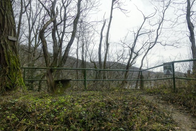
There are even some resting places there, but you see that this is not the most touristic area…
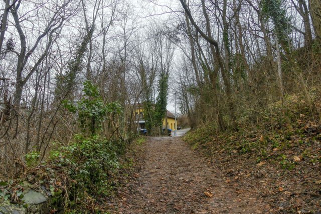
Finally you will come to the "Schießstattgasse". Continue walking straight ahead!
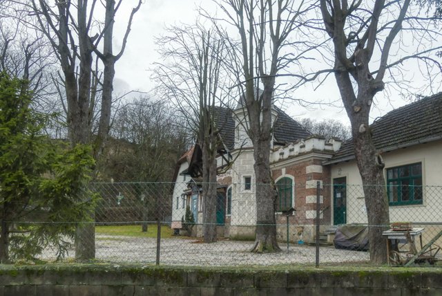
Then you come to the "Schießstätte", the shooting range of the shooting club of Krems that was founded in 1440.
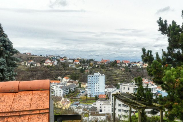
Unfortunately, there are only few places between the houses from that you can look down to the valley.
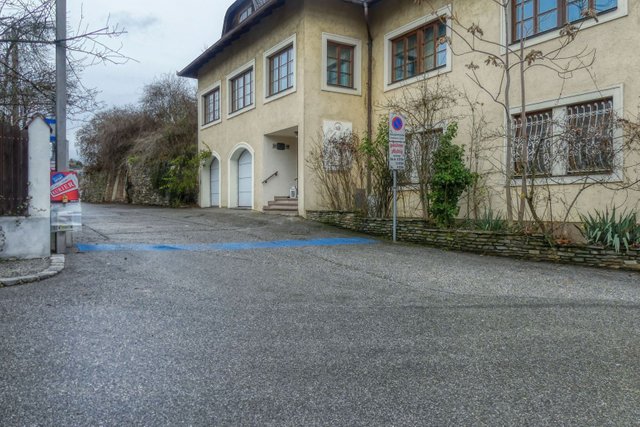
Shortly after the shooting range you turn left into a street called "Am Hundssteig".
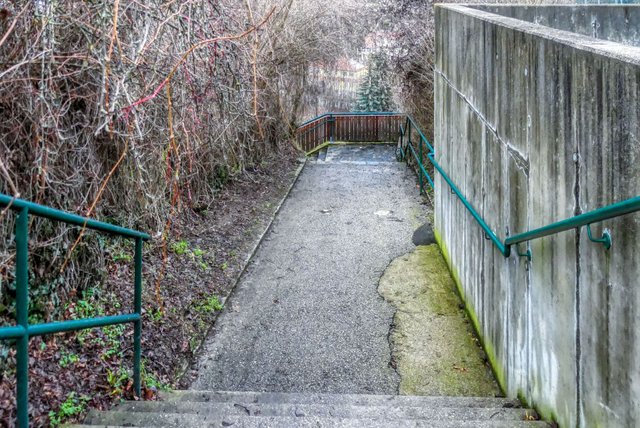
Finally you come to the "Hundssteig". "Hund" is the German word for "dog" and "steig" is a steep ascending trail, that might also be (or include) a stairway.
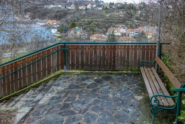
The Hundssteig is the oldest area of Krems. At this area a lot of mammoth bones have been found, but also the world's oldest childrens' grave (more than 32,000 years old!).
Unfortunately, you cannot see these excavations there. There is not even an information board there. On Wikipedia you find some information in German language..
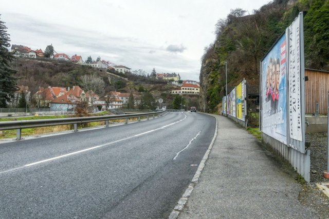
After coming down to the Krems valley you turn right.
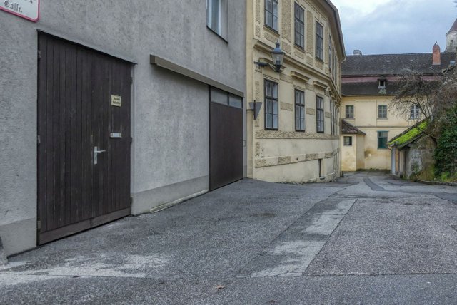
A little bit later you can turn right into the "Lederergasse". This used to be the area of Krems where the tanners had their workshops.
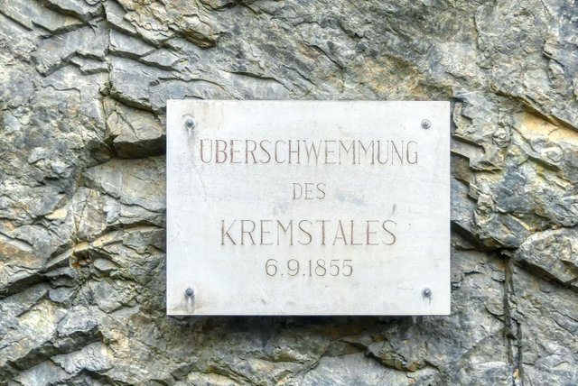
At the beginning of this street…
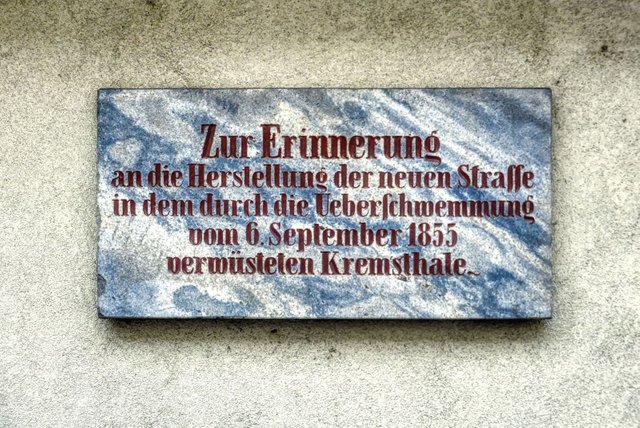
as well as at the end of the street commemorative plaques remind of a big flooding in the year 1855 that destroyed the street in the Krems valley.
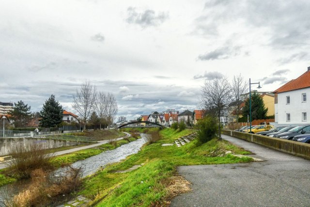
Then you come back to the Krems river and walk alongside the river back to the starting point.
The whole hike is about 7.5 kilometers long and you will need approximately 1 hour and 45 minutes or maybe 2 hours.
A German description including a detailled map can be found on schmatz.blog!
View this post on TravelFeed for the best experience.
Congratulations, Your Post Has Been Added To The Steemit Worldmap!
Author link: http://steemitworldmap.com?author=schmatz
Post link: http://steemitworldmap.com?post=a-circular-hike-in-krems-mitterau-muehlhof-klauslsteig-hundssteig
Want to have your post on the map too?
Downvoting a post can decrease pending rewards and make it less visible. Common reasons:
Submit
Congratulations @schmatz! Your post brought a smile to the TravelFeed team so we have sent you a smiley. Keep up the good job. 🙂
Feedback
Based on your post, we have the following feedback for you:
Thanks for using TravelFeed!
@smeralda (TravelFeed team)
PS: Why not share your blog posts to your family and friends with the convenient sharing buttons on TravelFeed.io?
Downvoting a post can decrease pending rewards and make it less visible. Common reasons:
Submit
Work out at your own pace, explore fascinating natural landscapes, and learn about the past of other towns. It takes more than just a post to review the many benefits of hiking. And they should use sydney assignment help to complete their thesis work quickly and easily. From these pictures, it seems like this will be a great place for me and my friends to enjoy hiking.
Downvoting a post can decrease pending rewards and make it less visible. Common reasons:
Submit