I already presented Route 1 , Route 2 and Route 4 here on TravelFeed. So, here's finally the description of Route 3 of the "tut gut" hiking trails in the municipality of Grafenegg in Lower Austria.
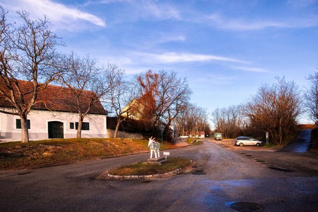
Route 4 starts in the cellar alley of Etsdorf, one of the nine villages that together form the municipality of Grafenegg. You probably already know this place, because it is also the starting point of Route 4.
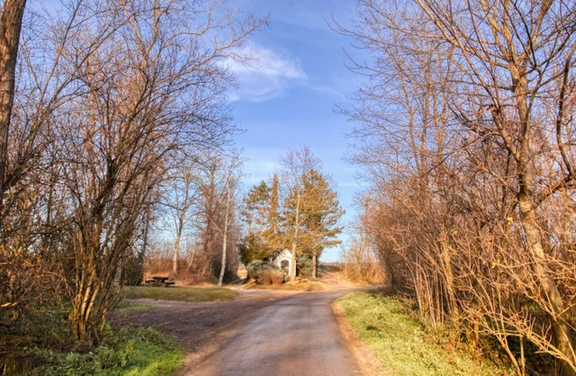
You walk up in northerly direction until you reach St. Hubert's chapel. You now have to turn right.
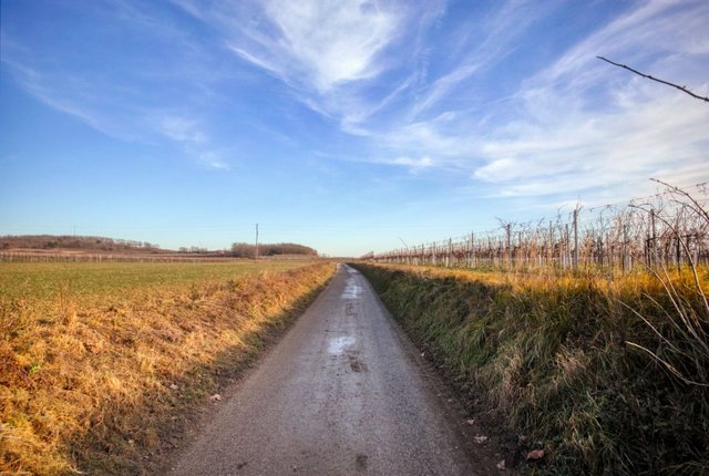
After some hundred meters through the vineyards…
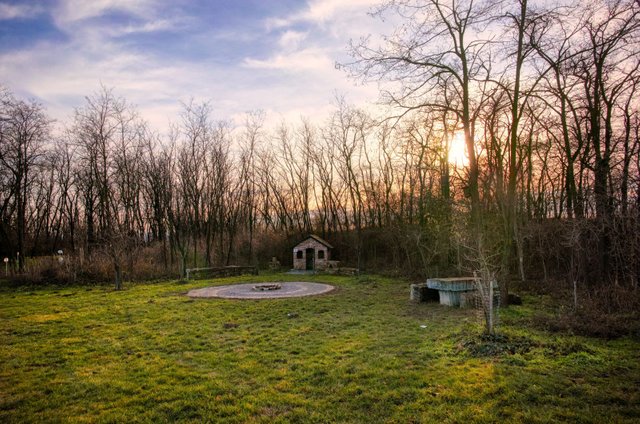
you'll see the northern entrance of the "Weg des guten Gesprächs" ("path of the good conversation"), some kind of meditation park. I have already written some information on this park in this story.
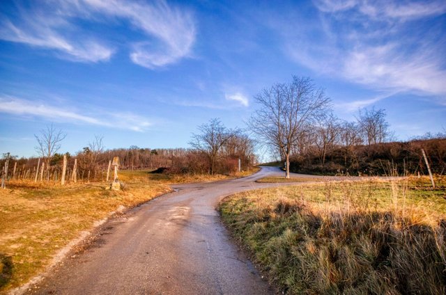
At the crossroads you have to walk straight ahead. You'll pass the "Festplatz" (a festival place) and a playground.
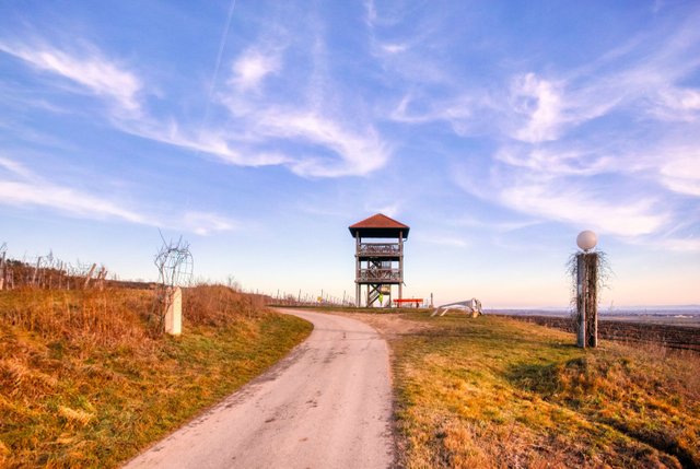
Finally, you will reach the lookout tower.

Now it's time to go up and enjoy the great view!
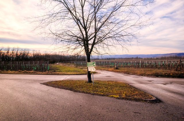
Afterwards you have to walk back to the crossroads, but now you have to turn left.
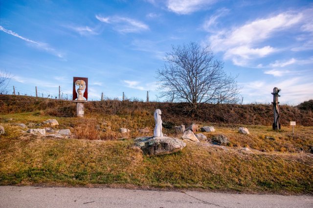
You will see the "Skulpturenriede", an sculpture park in the vineyards and finally you will come to the center of the small village Engabrunn. Please take a look at this post to get to know more about the "Skulpturenriede".
From here onwards, the way back to the starting point is exactly the same as on Route 4.
The total length of this hike is 5.4 kilometers. The height difference is about 116 meters, so it is not very difficult. All roads are broad and asphalted, so it is no problem to hike with a stroller, use this route for Nordic Walking or for cycling.
You'll need approximately 1.5 to 2 hours for this hike, depending on your walking speed and of course also depending on how much time you want to spend on the lookout tower or on the playground.
The official description of this hiking trail can be found on wanderwege.noetutgut.at: Choose "Waldviertel", the "Grafenegg" and finally "Route 3"!
View this post on TravelFeed for the best experience.
 " alt=""tut gut" hiking trail Grafenegg - Route 3: Through the vineyards to the lookout tower of Engabrunn"/>
This post was shared in the Curation Collective Discord community for curators, and upvoted and resteemed by the @c-squared community account after manual review.
@c-squared runs a community witness. Please consider using one of your witness votes on us here
Downvoting a post can decrease pending rewards and make it less visible. Common reasons:
Submit
Congratulations, Your Post Has Been Added To The Steemit Worldmap!
Author link: http://steemitworldmap.com?author=schmatz
Post link: http://steemitworldmap.com?post=tut-gut-hiking-trail-grafenegg-route-3-through-the-vineyards-to-the-lookout-tower-of-engabrunn
Want to have your post on the map too?
Downvoting a post can decrease pending rewards and make it less visible. Common reasons:
Submit
Congratulations @schmatz! You received a sweet smile from TravelFeed. We love your work so keep up the good job. 😊
Feedback
Based on your post, we have the following feedback for you:
Thanks for using TravelFeed!
@elsaenroute (TravelFeed team)
PS: Have you joined our Discord yet? This is where over 1000 members of the TravelFeed come together to chat. Join us!
Downvoting a post can decrease pending rewards and make it less visible. Common reasons:
Submit