Rohrendorf is located between Gedersdorf, the municipality where I am working and Krems an der Donau, my hometown. So it is easy for me to do a small hike in Rohrendorf right after my work before I drive home.
In this story I am going to presente the "tut gut" hiking trail Route 1 to you.
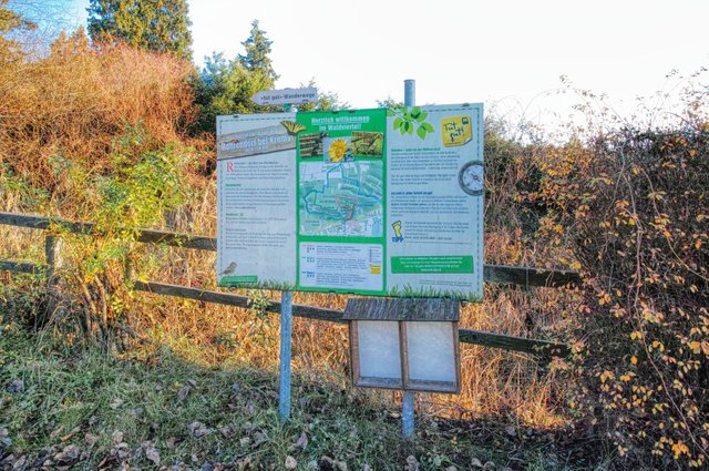
All "tut gut" hiking trails in Rohrendorf start at the beginning of the "Viehtrift", behind the Sepp Moser wine estate. The starting point is indicated in the map of this story.
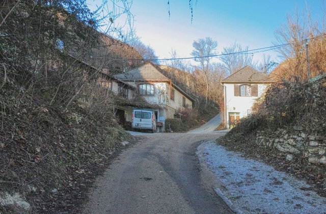
Then you walk up the quite steep street . After some minutes you see the Viehtrift-Heurigen on the left side.
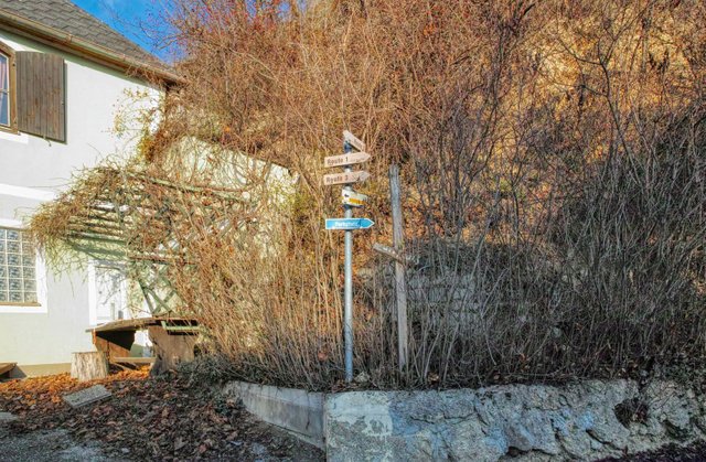
You then walk on the street that starts on the right side opposite the Viehtrift Heurigen. Take care! The "tut gut" Routes in Rohrendorf are only indicated with "Route 1" etc. They have certain colours on the map and on some points of this hikes you'll see other signposts that have a green or red dot - but these dots have nothing to do with the "tut gut" Routes!
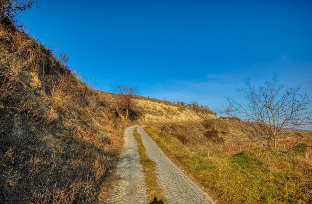
You then follow ways up the vineyards that are not that steep as the Viehtrift is - and that are more exposed to the sun…
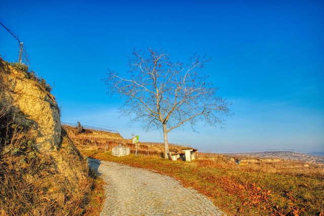
and offer places to relax and enjoy the great views:

But do not enjoy these views too long because you still have to walk some kilometers.

Then the route meets the Viehtrift again and you continue your way in Northern direction. If you have time you can also make a small detour to the "Heinz-Conrads-Tor". More about the "Heinz-Conrads-Tor" can be found in this story!

Finally you reach this madonna statue called "Maria am Berg".
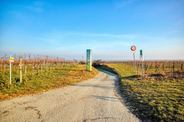
At the right side, you see the beginning of the "Lindobelgasse" which is Austria's longest cellar alley.
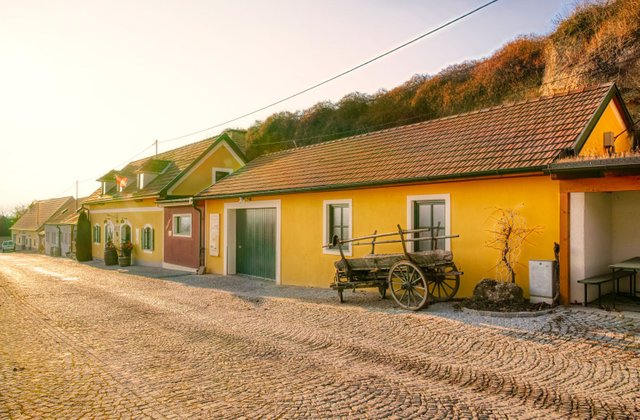
You then walk down the cellar alley. More about the "Lindobelgasse" is explained in this article.
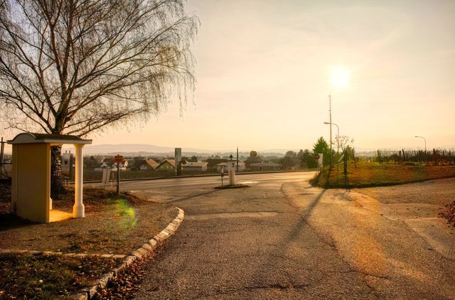
After about 40-45 minutes total walking time you come back to the main road, turn right and walk back to the starting point.
The whole hike has a total walking time of approximately 50-60 minutes. The trail is also very suiteable for Nordic Walking.
The official description of this hike can be found on wanderwege.noetutgut.at. Choose "Waldviertel", then "Rohrendorf bei Krems" and finally "Route 1".
A more detailled German description including a detailled map with all turning points and waypoints is available on my blog schmatz.blog!
View this post on TravelFeed for the best experience.
 " alt=""tut gut" hiking trail Rohrendorf - Route 1"/>
Congratulations, Your Post Has Been Added To The Steemit Worldmap!
Author link: http://steemitworldmap.com?author=schmatz
Post link: http://steemitworldmap.com?post=tut-gut-hiking-trail-rohrendorf-route-2
Want to have your post on the map too?
Downvoting a post can decrease pending rewards and make it less visible. Common reasons:
Submit
Beautiful photos! Looks like it was a nice day to get out!
Downvoting a post can decrease pending rewards and make it less visible. Common reasons:
Submit
It definitely is! Thank you!
Downvoting a post can decrease pending rewards and make it less visible. Common reasons:
Submit
This is Love Letter from God to You.
Message us on Discord 😍🤗❤
https://discord.gg/vzHFNd6
Downvoting a post can decrease pending rewards and make it less visible. Common reasons:
Submit