I introduce dataset which will publish in ICRA 2018.
This study was supported by Naver Labs and KAIST.
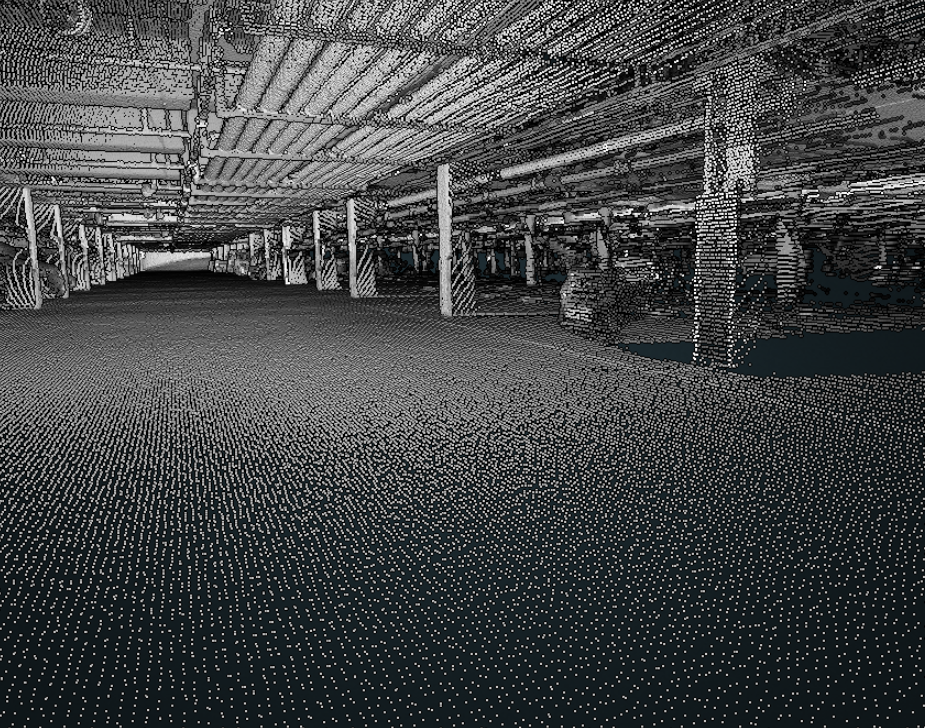
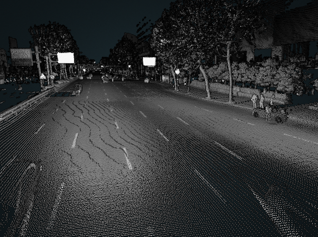
This data set is intended to provide data of navigation sensors and LiDAR sensors installed in the vehicle, and also provides WebGL so that you can see the 3D map in web browser. In addition, we provide map in LAS format so that 3-dimensional map can be utilized as a prior information of additional research.
Homepage: http://irap.kaist.ac.kr/dataset
WebGL demo: http://irap.kaist.ac.kr/dataset/webgl/urban05/urban05_sick.html
It also provides a player and viewer to publish and view data in ROS environment with data set.
Currently, it does not include the front stereo camera, but it will be added in the future, and the data will continue to be updated.
For more information, please visit our homepage.
I hope that many people will use it that I prepared hard for two years.
Thanks for any further advice or errors regarding the dataset!
Congratulations @jinyongjeong! You received a personal award!
Click here to view your Board
Downvoting a post can decrease pending rewards and make it less visible. Common reasons:
Submit
Congratulations @jinyongjeong! You received a personal award!
You can view your badges on your Steem Board and compare to others on the Steem Ranking
Vote for @Steemitboard as a witness to get one more award and increased upvotes!
Downvoting a post can decrease pending rewards and make it less visible. Common reasons:
Submit