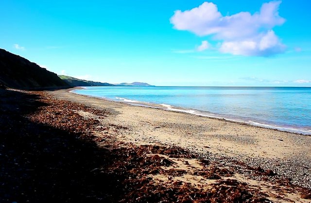
On the Isle, I began my walk from kirk Michael, passing through the valley of Glen wyllin so people can see the beautiful slopes in the valley. I also passed along the beach to Glen Mooar showing the lovely beach waters. Then I went back the track bed back to Kirk Michael.
The walk took around 3 hours to complete, but when not taking pictures it can take roughly 2 hours.
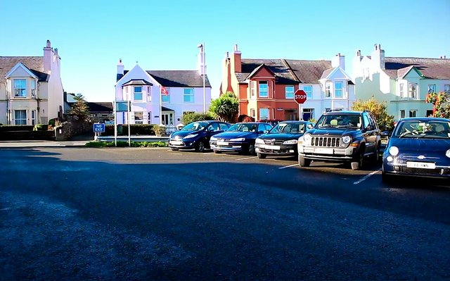
The image above is the car park in Kirk Michael where I began my walk.
Kirk Michael is only about 5 miles away from the highest point on the Isle. The hill is shown below.
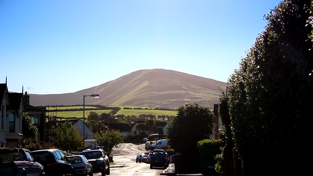
- Closed Kirk Michael Railway lines
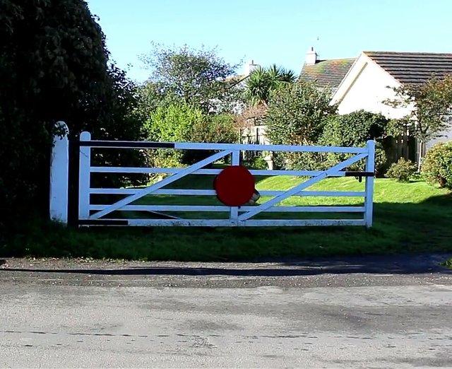
From the car park, I moved to the site of the closed Kirk Michael railway line.
Although the Isle of Man is considered a small area, yet it had an extensive railway line network by the turn of the twentieth century. But because of the crisis the management was experiencing, it was closed in 1969.
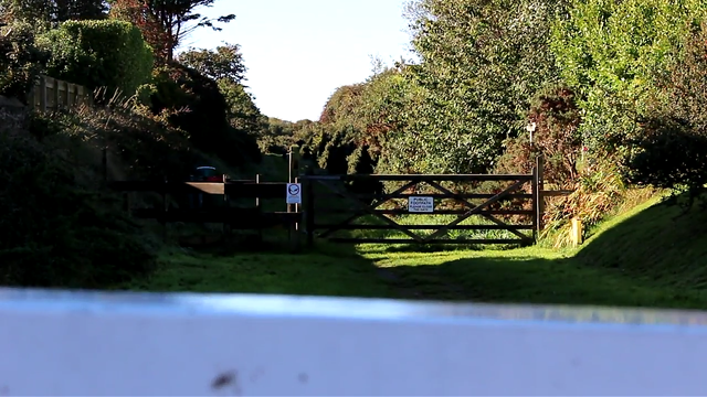
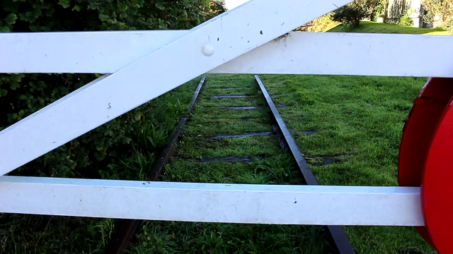
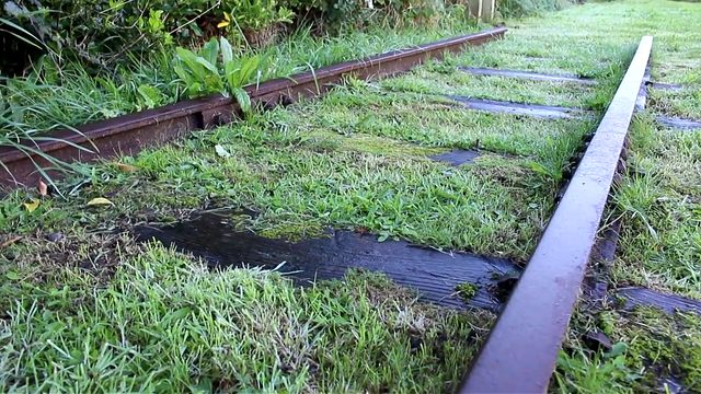
The images above show the tracks where the railway line once were.
Around the railway line were railway station buildings. In other cases where railway companies shutdown, both the railway lines and station buildings were usually closed. But in Kirk Michael, the railway station buildings were converted to Kirk Michael fire station - the fire station for Kirk Michael.
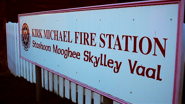
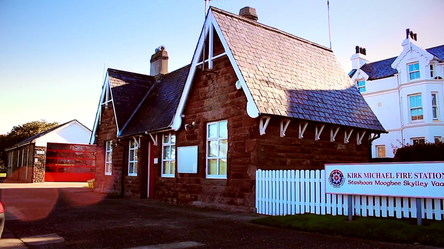
Next I headed towards the valley of Glen wyllin.
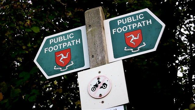
To get there, I followed the heritage trail which is a path created on the track beds of the old railway lines. Here are images of the Heritage trail
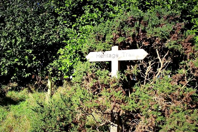
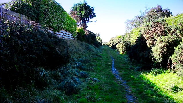
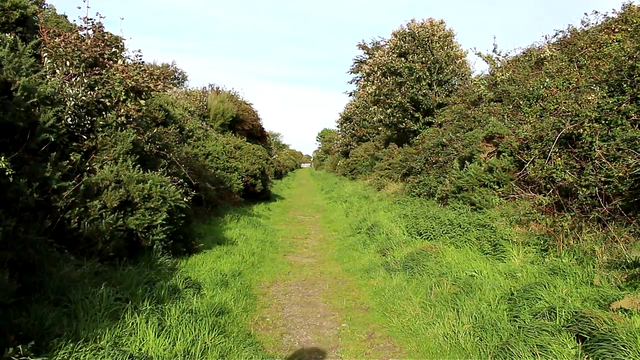
- Valley of Glen Wyllin
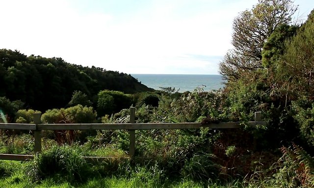
When the railway line existed, it crossed over the valley through a duct. But latter on, the duct was removed and only the support was left behind. These are shown in the images below.
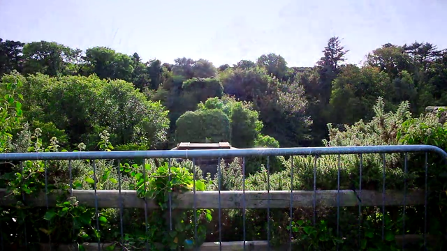
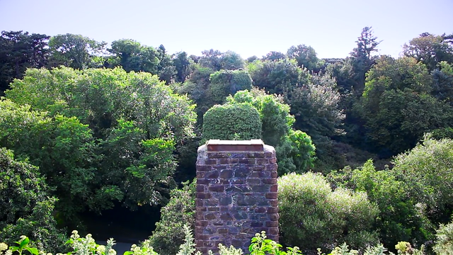
To continue the journey, I had to get to the low point of the valley via the narrow path.
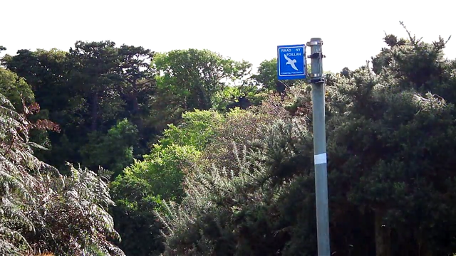
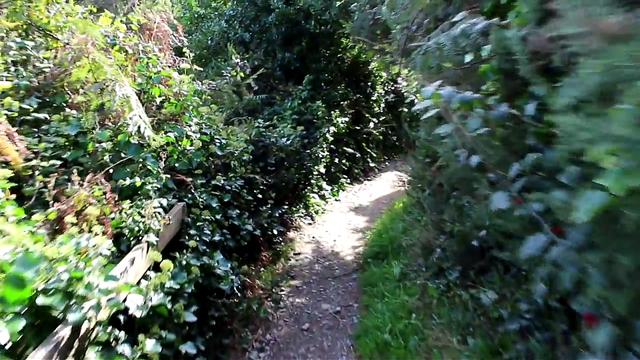
Now that I was at the bottom, I was able to see the true height of the train duct support from bottom to top.
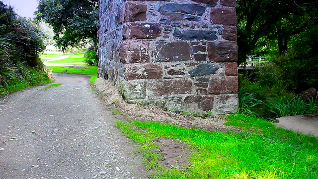
From there, the path headed towards the beach.
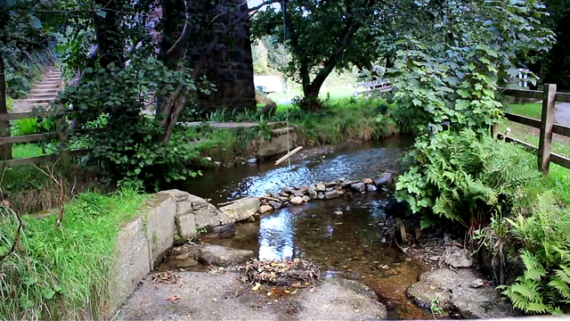
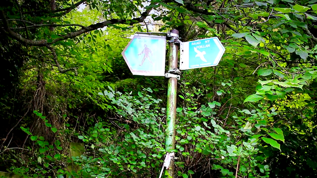
For those who like camping, Glen wyllin is an excellent camp site with a good selection of well structured tents.
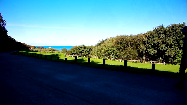
- The Glen Wyllin Beach
The footpath through the Glen leads to the beach revealing an excellent view.
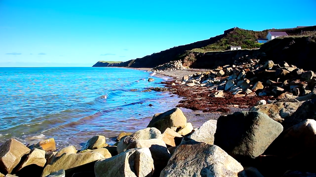

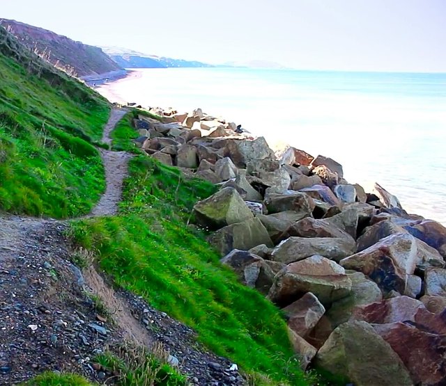
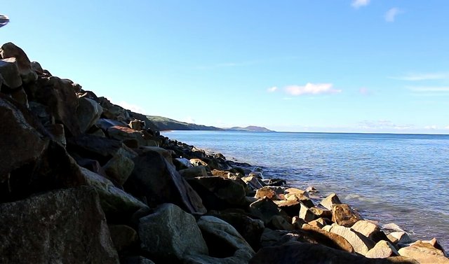
From the beach, I followed the path below, leading into the main land and then into the main road.
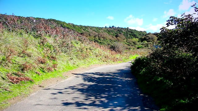
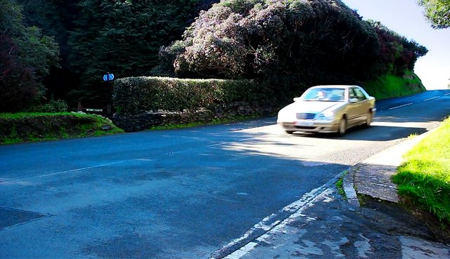
Crossing the main road leads into Glen Mooar
- Glen Mooar
I passed through a narrow upward climbing part to the top of the hill, heading back to Kirk Michael.
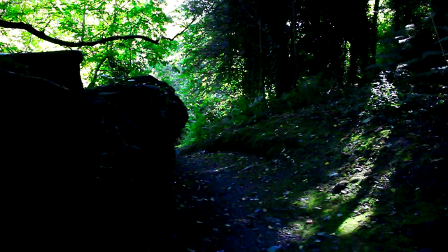
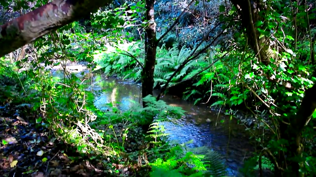
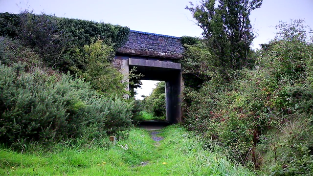
Finally, on my way to Kirk Michael, I still came in contact with another old railway duct and support, but this time the duct was and support were still intact.
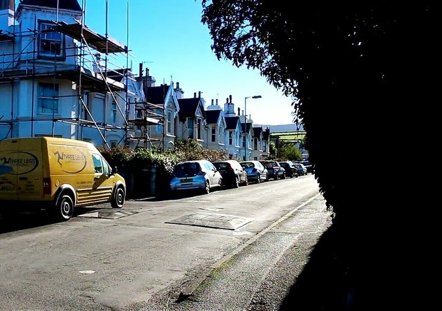
And then we have the street leading to the Kirk Michael car park I began the journey.
Hope you enjoyed the walk with me.

Congratulations @georgebush1! You have received a personal award!
Click on the badge to view your Board of Honor.
Do not miss the last post from @steemitboard:
Downvoting a post can decrease pending rewards and make it less visible. Common reasons:
Submit
Congratulations @georgebush1! You received a personal award!
You can view your badges on your Steem Board and compare to others on the Steem Ranking
Do not miss the last post from @steemitboard:
Vote for @Steemitboard as a witness to get one more award and increased upvotes!
Downvoting a post can decrease pending rewards and make it less visible. Common reasons:
Submit